Unmanned Aerial Vehicles (UAVs), commonly known as drones, have emerged as a game-changer in the field of surveying and mapping. With their advanced technology and capabilities, UAVs are revolutionizing traditional surveying methods by providing efficient, accurate, and cost-effective solutions. In this article, we explore the transformative impact of UAVs in surveying and mapping industries. From improved data collection and analysis to enhanced safety and productivity, UAVs are reshaping the way we gather geospatial information and make informed decisions.
Rapid and Accurate Data Collection :
UAVs equipped with high-resolution cameras, LiDAR sensors, and other advanced imaging technologies can capture geospatial data with unparalleled speed and accuracy. They can quickly cover large areas and collect high-resolution imagery, allowing for detailed mapping and precise measurements. This capability significantly reduces the time and effort required compared to traditional ground-based methods, leading to increased productivity and cost savings.
Enhanced Safety and Accessibility :
Surveying and mapping tasks often involve hazardous or hard-to-reach areas such as steep terrains, dense forests, or inaccessible structures. Sending UAVs instead of surveyors eliminates the need for human entry into these potentially dangerous environments. UAVs can access remote or hazardous locations, collect data without risking human lives, and provide valuable insights for decision-making.
Improved Data Analysis and Visualization :
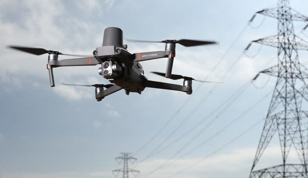
UAVs not only collect data but also contribute to advanced data analysis and visualization. With the help of specialized software, collected imagery and sensor data can be processed to generate detailed 3D models, orthomosaic maps, and point clouds. These digital representations offer enhanced visualization, measurement, and analysis capabilities, enabling professionals to extract valuable insights for various applications, including urban planning, infrastructure development, and environmental monitoring.
Cost-Effectiveness and Efficiency :
The use of UAVs in surveying and mapping significantly reduces costs and improves operational efficiency. Traditional surveying methods often involve extensive manual labor, equipment setup, and lengthy data collection processes. UAVs streamline these tasks by automating data acquisition and providing real-time feedback. With efficient data collection, fewer personnel, and reduced equipment requirements, project timelines are shortened, leading to substantial cost savings for clients and stakeholders.
Environmental Impact and Sustainability :
UAVs offer environmental benefits by minimizing the environmental impact associated with traditional surveying techniques. They require less physical infrastructure, consume less energy, and produce fewer emissions compared to ground-based surveying methods. UAVs also enable precise data collection, reducing the need for additional field visits and disturbances to the natural habitat during surveying activities. By embracing UAV technology, the surveying and mapping industries can contribute to sustainable practices and environmental stewardship.
Regulatory Considerations and Challenges :
The widespread adoption of UAVs in surveying and mapping also presents regulatory considerations and challenges. Compliance with aviation regulations, airspace restrictions, and privacy laws is crucial. Regulations vary across jurisdictions and may impose limitations on drone operations, such as flight altitudes, proximity to people or infrastructure, and obtaining necessary permits. Navigating these regulations and ensuring adherence is essential for responsible and legal UAV operations.
Conclusion :
UAVs have revolutionized the surveying and mapping industries by offering efficient, accurate, and cost-effective solutions. Through rapid data collection, enhanced safety, improved analysis, cost savings, and environmental sustainability, UAVs are transforming the way professionals gather and analyze geospatial information. Despite regulatory challenges, the potential of UAVs in surveying and mapping is vast. Continued advancements in technology and close collaboration between industry stakeholders and regulators will pave the way for even more remarkable applications, empowering professionals and decision-makers with the geospatial insights needed for a sustainable and informed future.